Description
Geophysical Study with GPR Ground Penetrating Radar
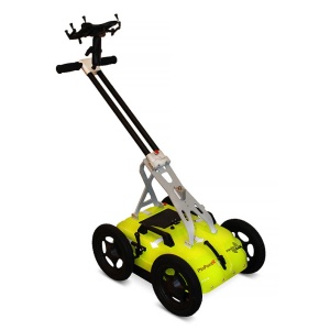
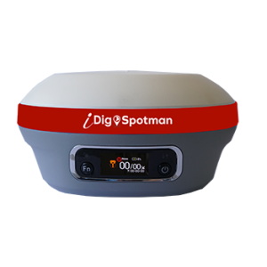
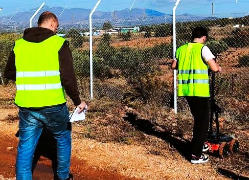
MOBACT offers comprehensive geophysical survey services, utilizing Ground Penetrating Radar (GPR) technology for the non-destructive exploration of the subsoil. This advanced method is a key tool for the accurate mapping of underground networks and the support of construction projects.
What is GPR Technology?
Ground Penetrating Radar (GPR) is a technology that uses electromagnetic waves to scan and map the subsurface. Through this non-destructive process, we can detect:
- Underground water and natural gas networks.
- Medium and high voltage cables.
- Fiber optics and other critical infrastructure.
- Underground objects or voids.
Geophysical Study – Benefits of our Service
- Accuracy and Reliability: We provide detailed and georeferenced maps of underground networks.
- Avoiding Damage: Accurate marking reduces the risk of damage during excavations.
- Project Optimization: We support the planning and execution of construction projects with precision.
- Economy and Security: We reduce costs and work time, while ensuring safety.
Geophysical Study – Methodology
- Programming and Design
- Evaluation of the study area and definition of objectives.
- Grid design for accurate data collection.
- Scanning and Data Recording
- Using GPR to collect in-depth information.
- Accurately obtain data within the specified time.
- Processing and Delivery of Results
- Data processing to create georeferenced maps.
- Presentation of analytical findings for immediate use by engineers.
Why Choose MOBACT?
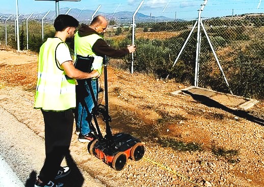
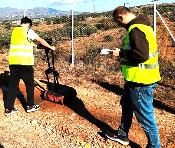
MOBACT has an experienced team of specialized scientists and engineers from National Technical University of Athens using the most modern technologies. Our services are tailored to the needs of each project, ensuring high quality and efficiency.
Contact Us
If you need a geophysical study with the use of GPR for your project, contact us today. Send email to in**@mo****.gr or call us at +302102519273 for more information and to schedule a free estimate.