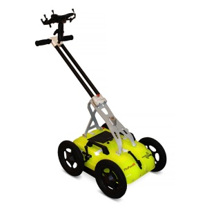
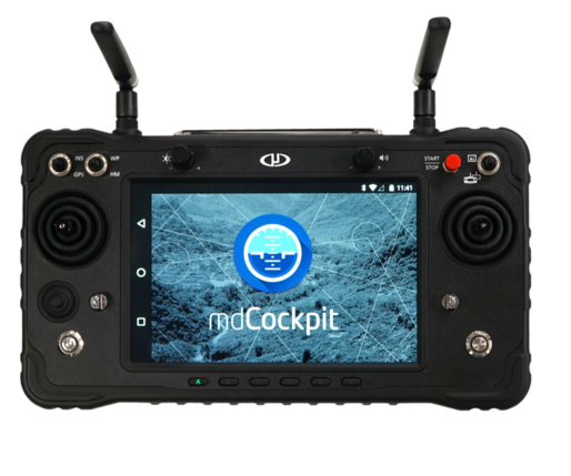
- 7" Tablet
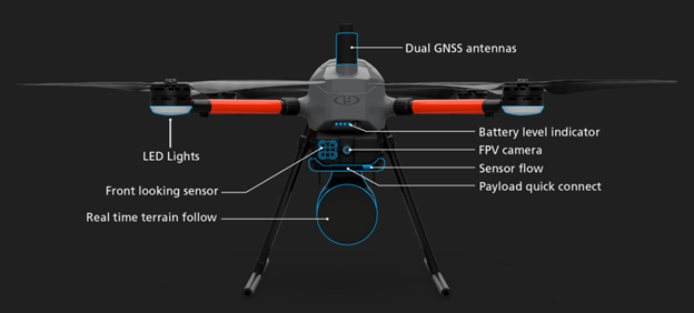
- Real-Time Terrain Following
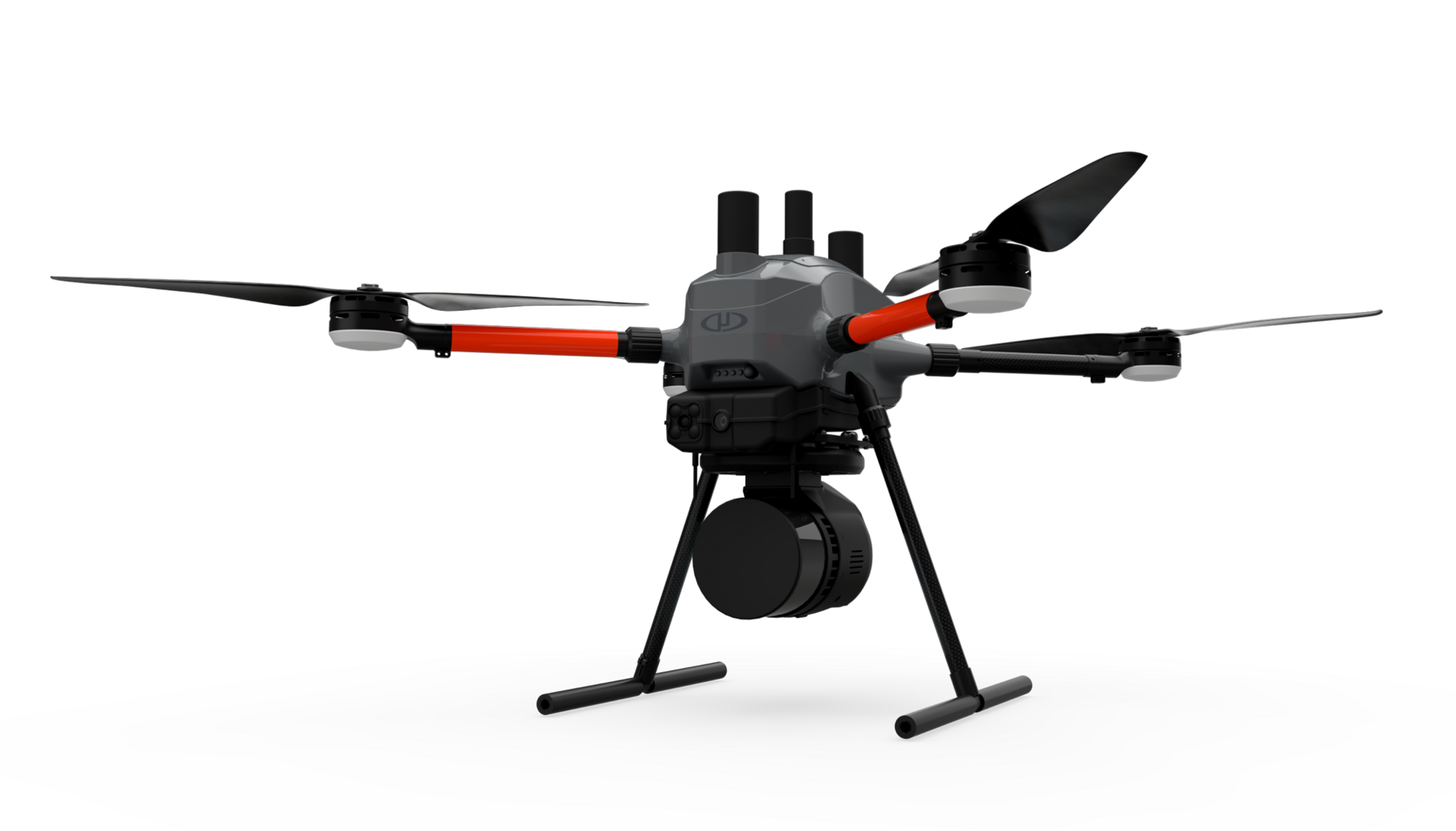
- High Resolution LiDAR
- Scanning accuracy
- Flight time 40'
- Training - Support - Service - Warranty
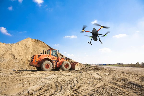
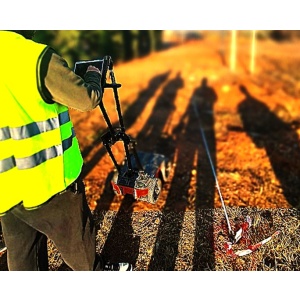
 Construction projects
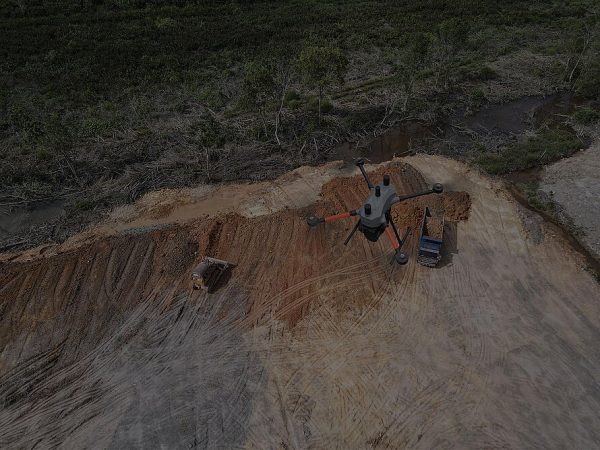
 Mines
Mines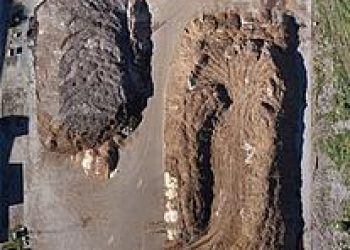 Quarries
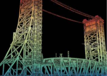 BIM Digital Twins
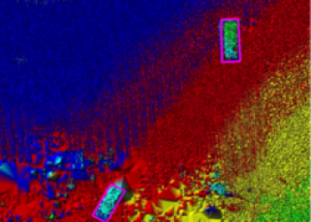 Air defense
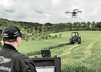 Precision Agriculture