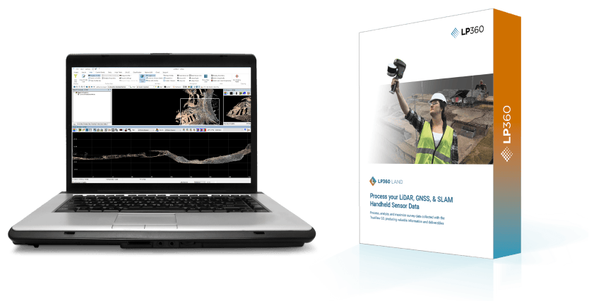
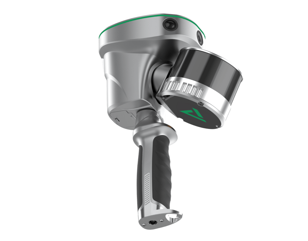
- Lidar & GNSS & SLAM
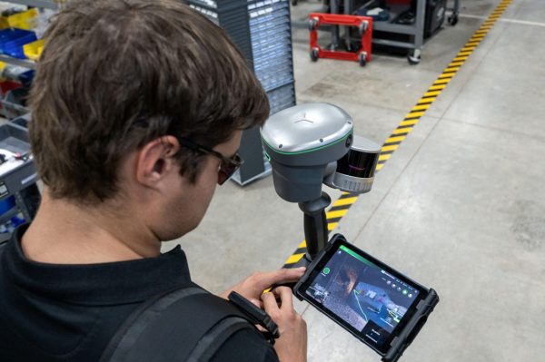
- Easy use
- BIM & Construction
- Scanning accuracy
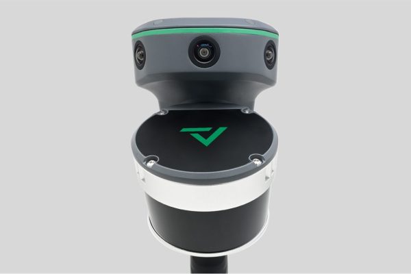
- 3 5MP cameras
- Training - Support - Service - Warranty


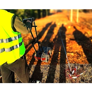
 Construction projects
 Mines - Quarries
 Scan to BIM
 BIM Digital Twins
 Mobile mapping
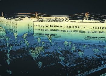 Architectural applications