Description
The 3D solution
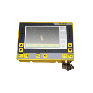
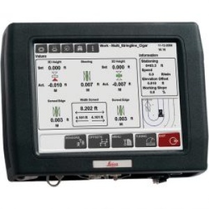
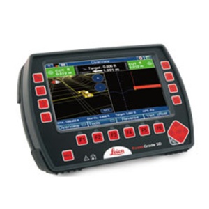
Leica DigSmart 3D uses an electronic file of the work area plan and an advanced GNSS GPS receiver to guide the operator exactly where to dig, and how much.
The color graphic display in the operator's cab tells him where he is in the area, where he needs to be and where to dig – to the nearest centimeter.
With Leica DigSmart 3D SmartTools couldn't be easier.
H SlopeTool function, for example, automatically adjusts the digging depth and gives the information about the depth you find and with which slope you work.
THE TrenchTool operation simplifies the construction of trenches and laying of pipelines.
THE RampTool function enables you to work within the construction site at any desired height.
The advanced software and operator-friendliness of the Leica DigSmart 3D operator system make even the most complex projects easy.
The benefits of the system
- By putting the design on the machine, it allows the operators to only deal with driving
- Eliminates the need for measurements, stakes and seams
- Eliminates under-excavation by guiding the operator to the correct depth
- It features an easy-to-use control panel with tools designed for the needs of machine operators
- Advanced GPS technology with Leica Geosystems GNSS for accuracy and reliability
- Truly open system across a wide range of design and CAD systems
- System compatible with a wide range of GPS /GNSS base stations
- It can also operate 2D control system for simpler tasks
- One supplier, one complete solution
| The Leica DigSmart 3D system brings the fastest setup, easy operation, improved productivity, reliable solution and Leica quality to 3D excavator guidance.
When you need to get the job done on time and on budget, Leica DigSmart 3D helps you move more faster, with greater precision and improved safety.
Leica DigSmart 3D creates new levels of productivity, control, safety and usability. It is a fast, intelligent and comprehensive excavator guidance solution. |