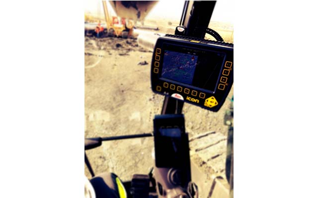
The digital study of the project (Digital Terrain Model) is imported with a USB stick into the computer of the 3D Panel System. Alternatively, the study file can be "uploaded" to the "Leica ConX Telematics" cloud server. The operator “downloads” the study to the 3D Panel, using the Leica ConX Telematics service.
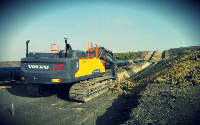
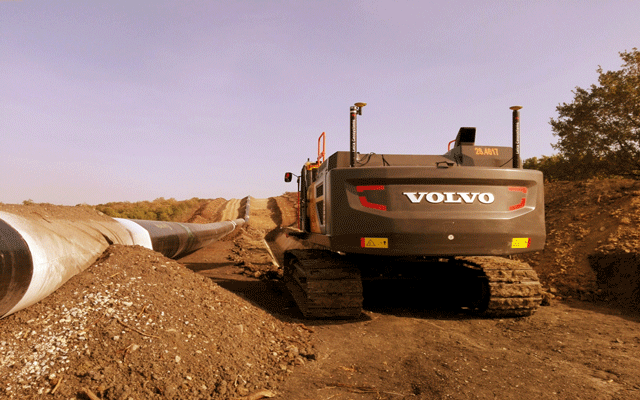
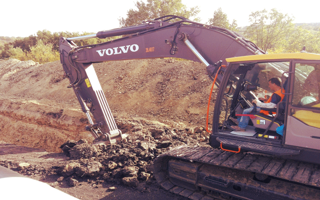
3 Tilt Sensors (Boom, Stick, Bucket) have been installed on the Excavator. Also 2 GPS Antennas have been installed on the back of the Excavator. Finally, the GPS Receiver and the System screen (3D Panel) are located inside the operator's cabin.
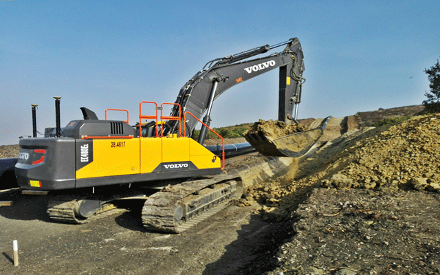
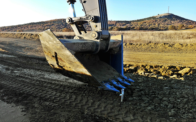
Sensors combined with GPS give the actual location of the Bucket in real time. The theoretical position of the bucket is determined by the study (Digital Terrain Model). In this case, our study defines the bottom of the Pipeline.
The System compares the Actual position of the Bucket with the Theoretical position. The Display guides the Operator with arrows (up/down) and an audible signal. When the Bucket has reached the desired position, the Operator is alerted with a long beep.
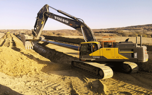
The Leica iCON3D GPS System Increases Productivity, Accuracy and Safety. From the first moment, the Operators saw the benefits in their work that became more restful. Project Engineers found many advantages due to the use of Guidance Systems, most importantly Productivity and Site Safety.
